Los Haitises National Park
Los Haitises and Cayo Levantado
Offered by Emmanuel Tours
- Samaná Bay, Cayo Levantado
US$67 per adult
National park
National park of limestone hills, mangroves and caves with rock art, visited by boat.
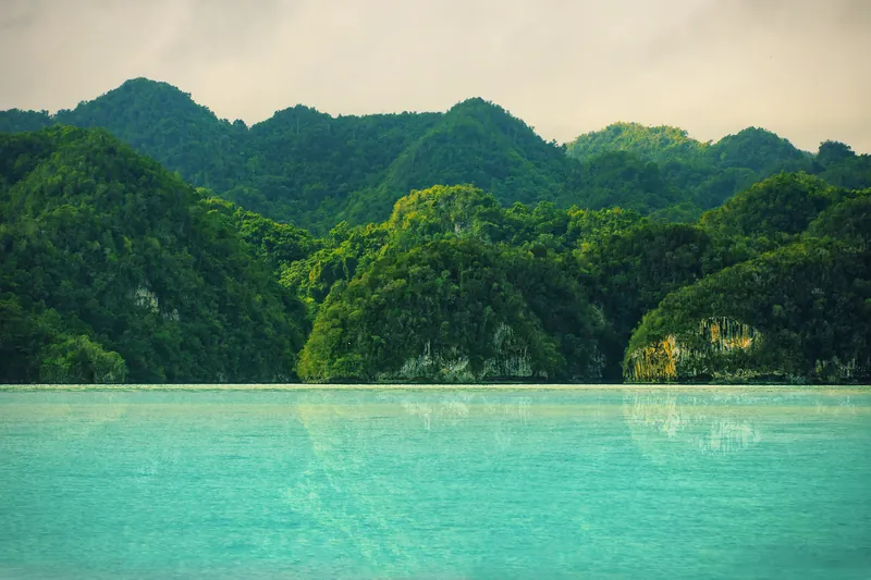
The official tourism site gives the park an area of 1,600 km² (618 sq mi) and explains that its name means 'hilly land' in the Taíno language.
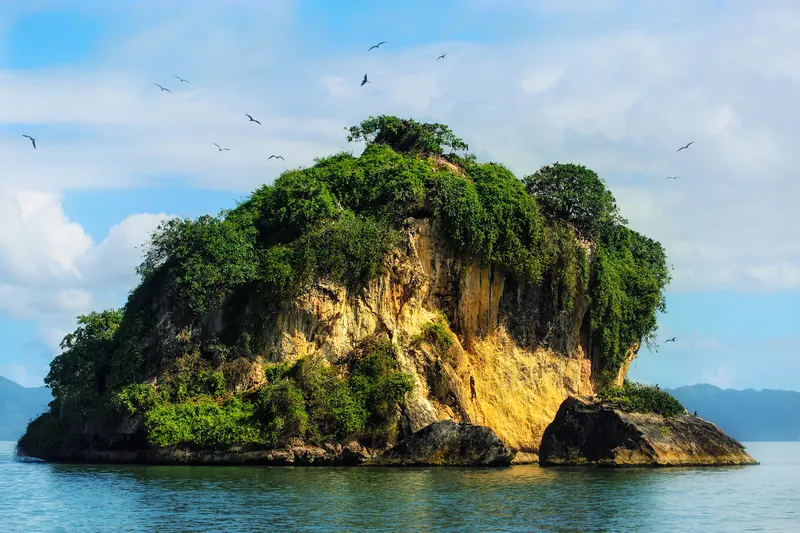
Visitors arrive by boat to see a series of rock formations about 30 m (98 ft) high rising out of the water.
The park has extensive mangroves, cays hosting bird colonies, caves with one of the highest numbers of petroglyphs and pictographs in the country, and one of the DR's few remaining rainforests, used as a filming location for Jurassic Park.
To visit Los Haitises, the official site says to go to the maritime port of Santa Bárbara de Samaná and board a catamaran with a tour; the crossing to the park's bay takes about 45 minutes.
The Ministry of Environment presents the park as the most important karst region of the Antilles, with mogotes (limestone hills), mangrove forests, rock art and a rich diversity of birds.
Caves with rock art in the park include Cueva de la Arena, Cueva de San Gabriel and Cueva de la Línea.
Los Haitises is among the most visited protected areas in the country, with more foreign than Dominican visitors (Ministry of Environment).
The Ministry of Environment opened five new surveillance centres to protect Los Haitises and the Bajo Yuna mangroves.
Information checked on October 4, 2026
Los Haitises National Park
Offered by Emmanuel Tours
Los Haitises National Park
Offered by Samaná Tropical Tours
Los Haitises National Park
Offered by Flora Tours
Los Haitises National Park
Offered by Península Tours
Los Haitises National Park
Offered by Santi Limón Excursiones